Log in
All resources
Create a design
1,096,578 Free Images of Maps Of Battles
maps made in the 17th century
maps made in the 18th century
atlantis magni tomus secundus (biblioteca comunale di trento)
charts and maps of the royal museums greenwich
1590 maps
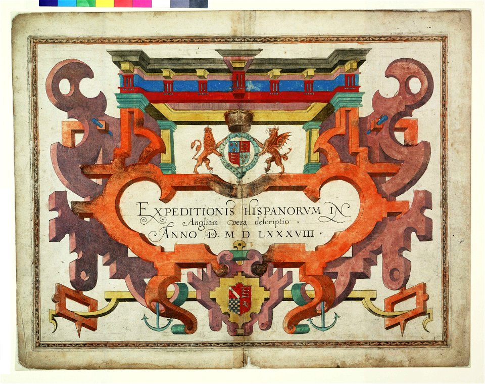
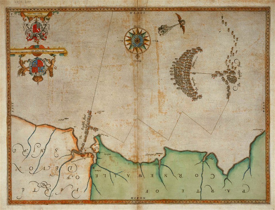
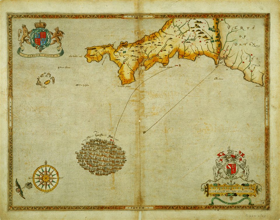
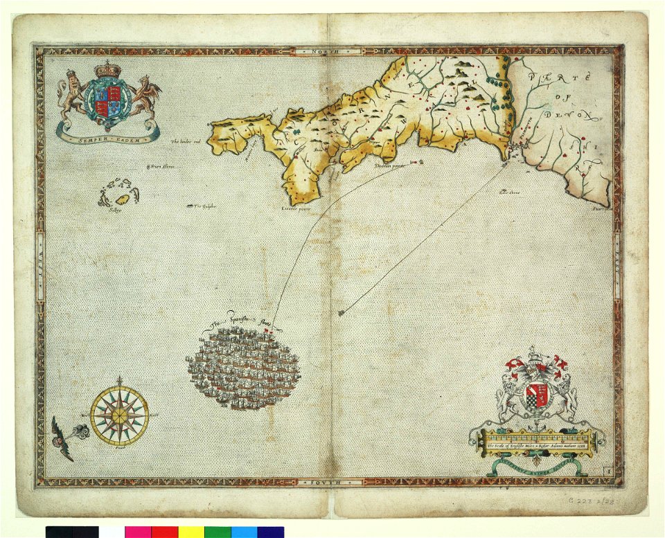
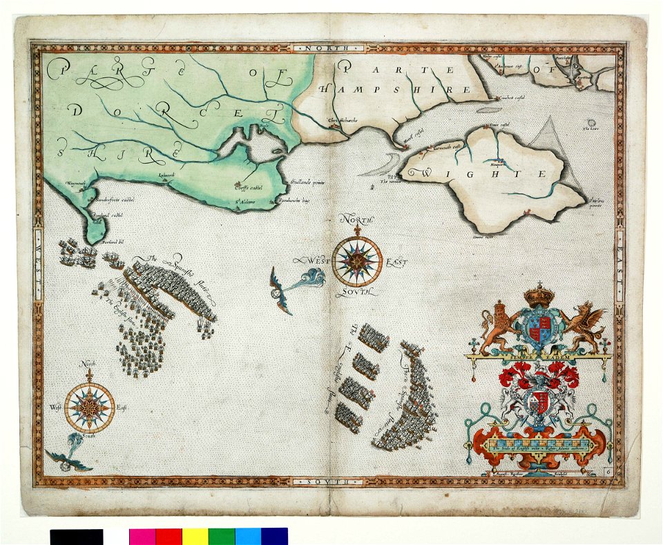
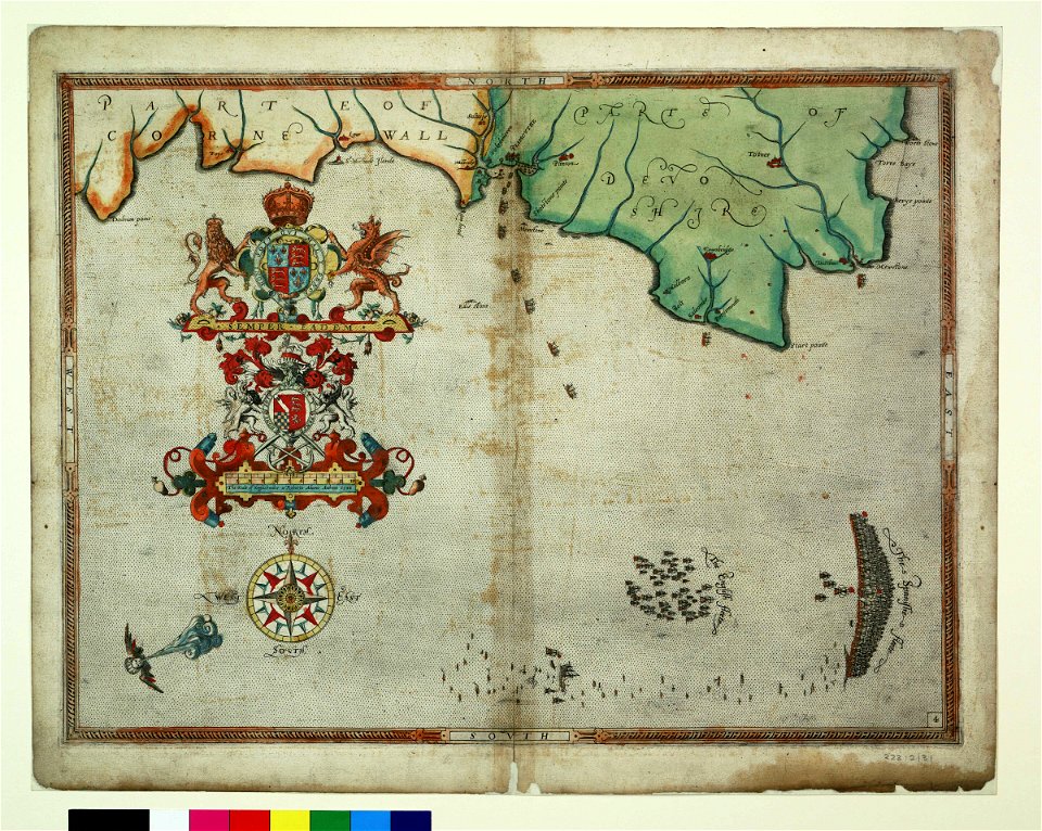
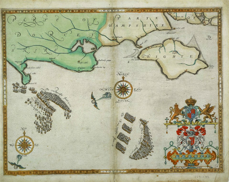
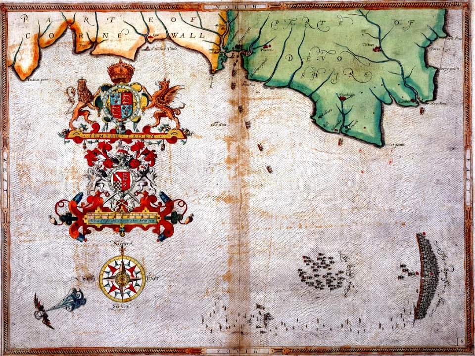
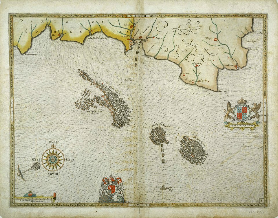
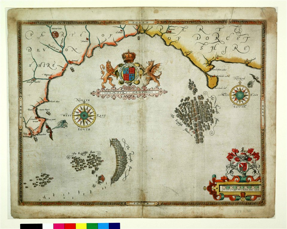
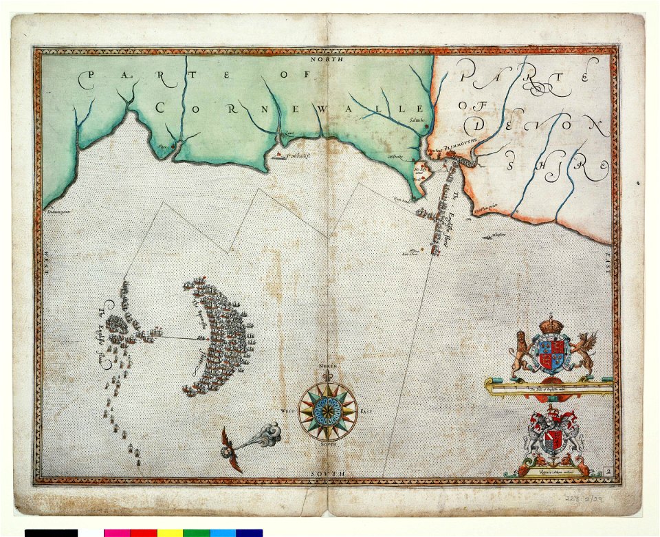
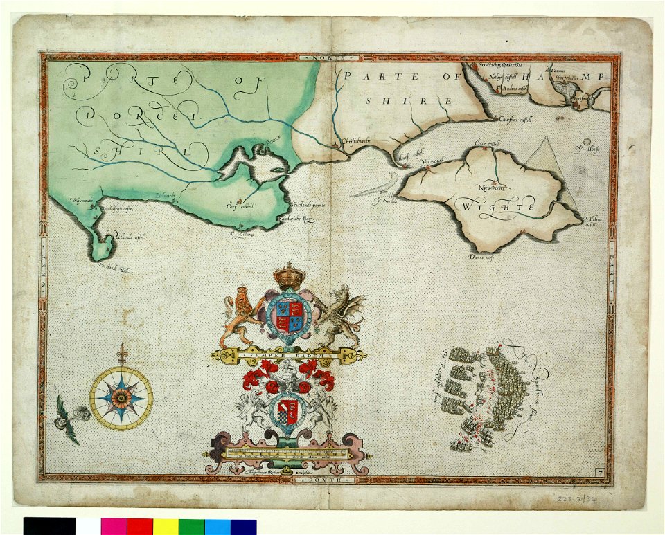
expeditionis hispanorum in angliam vera descriptio anno domini mdlxxxviii
augustine ryther
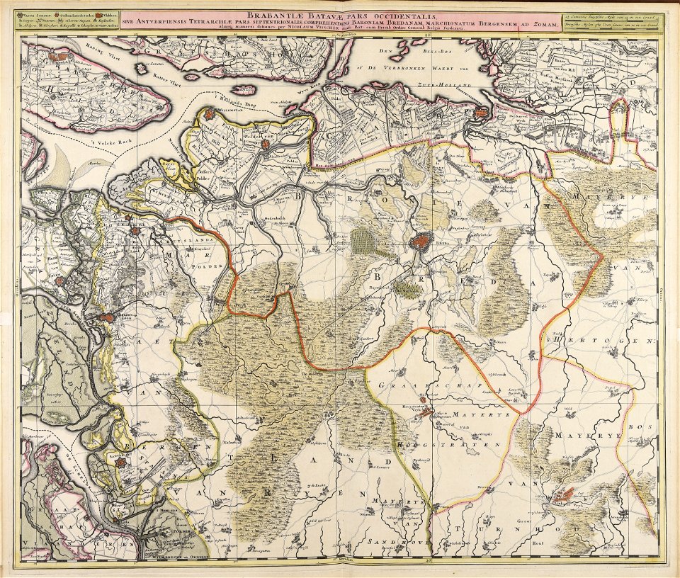
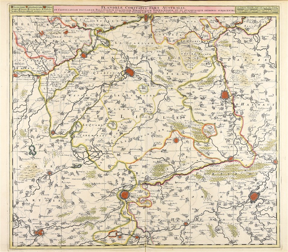
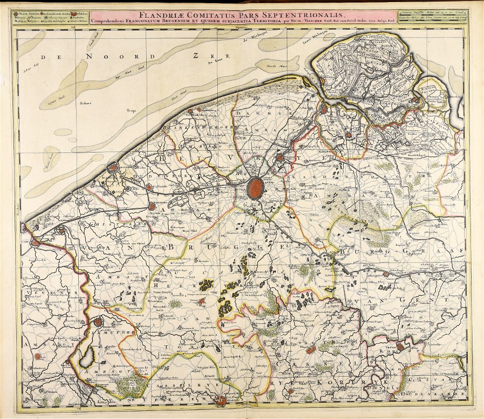
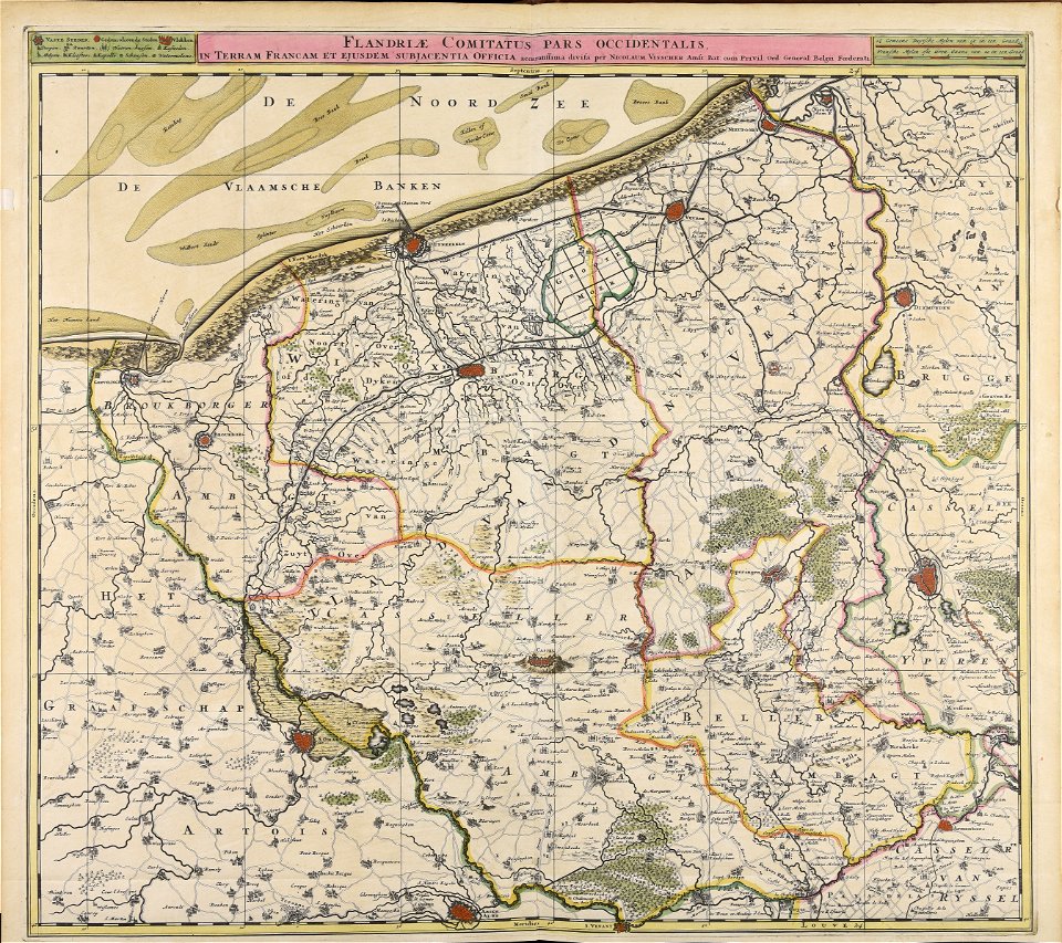
nicolaes visscher ii
atlantis magni tomus tertius (biblioteca comunale di trento)
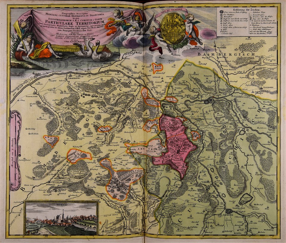
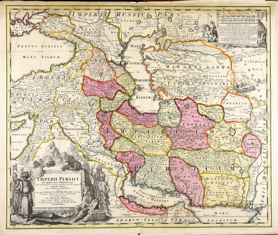
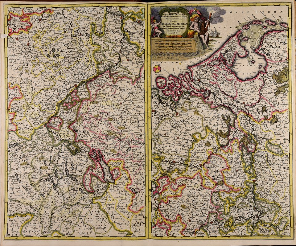
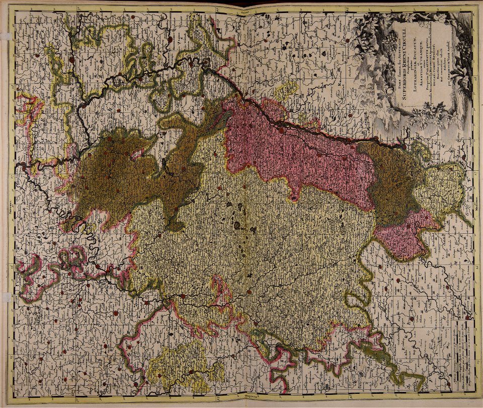
johann baptist homann
johann baptist homann
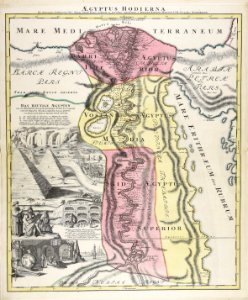
1720s maps of egypt
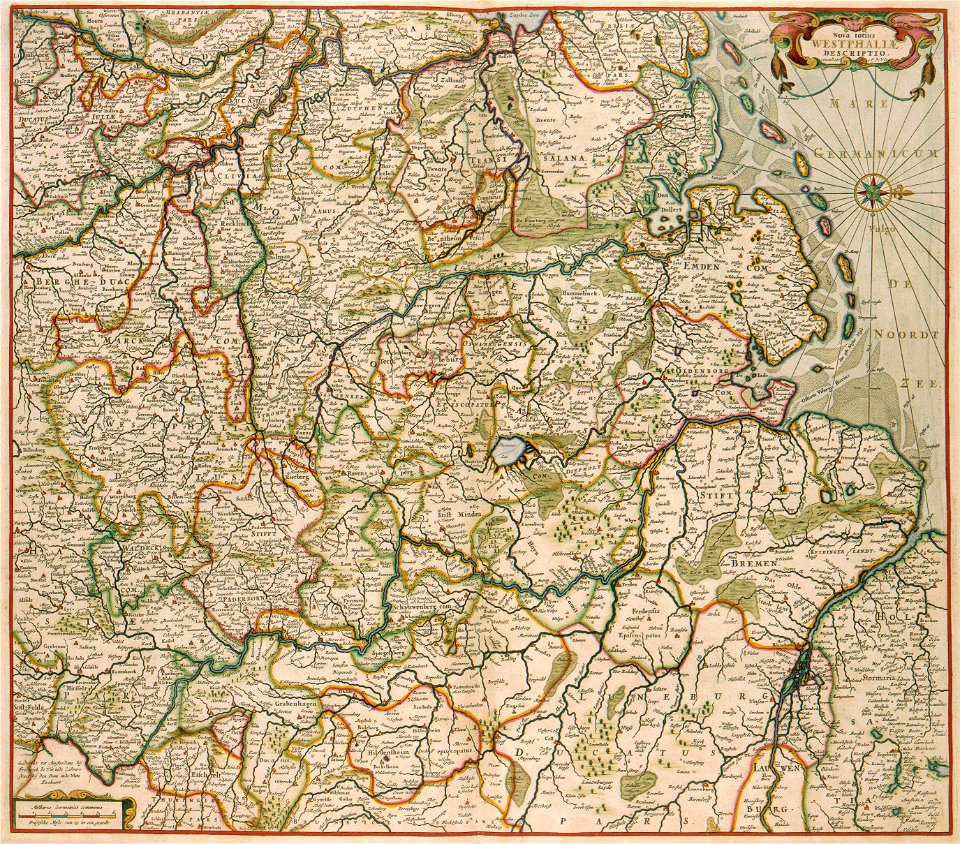
maps made in the 17th century
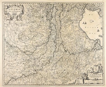
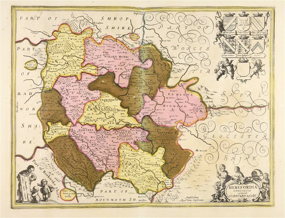
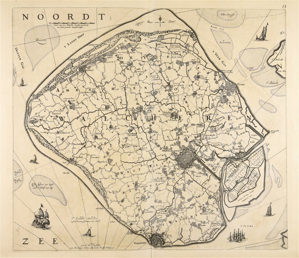
old maps of gelderland
johann baptist homann
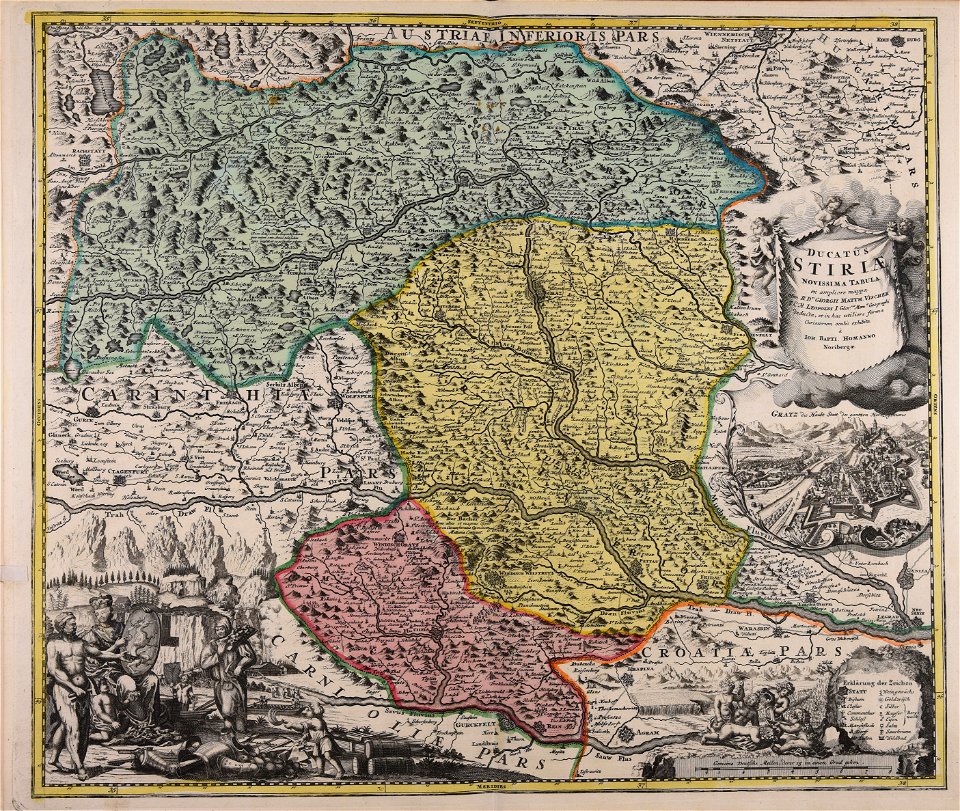
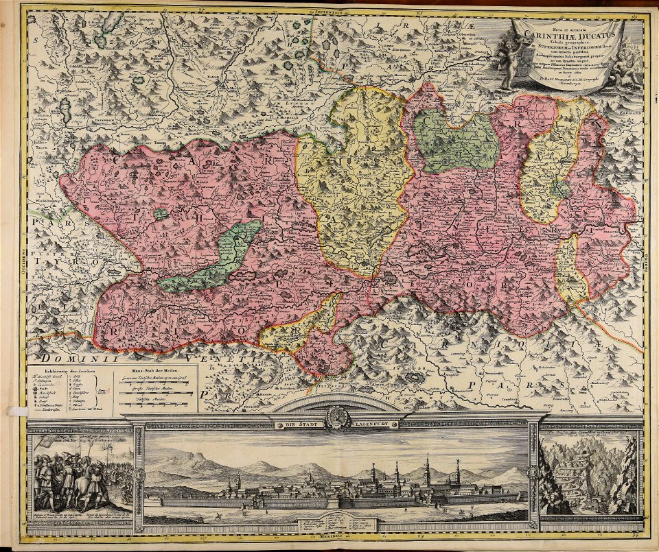
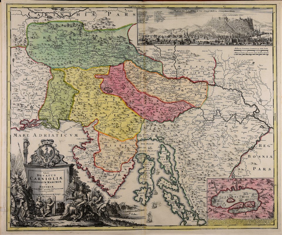
old maps of styria
maps made in the 18th century
johann baptist homann
georg marggraf
elmina
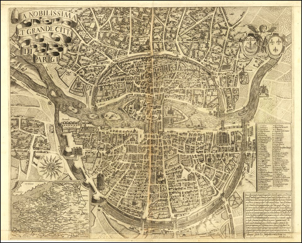
maps of paris from the barry lawrence ruderman antique maps inc.
la nobilissima et grande città di parigi by matteo florimi
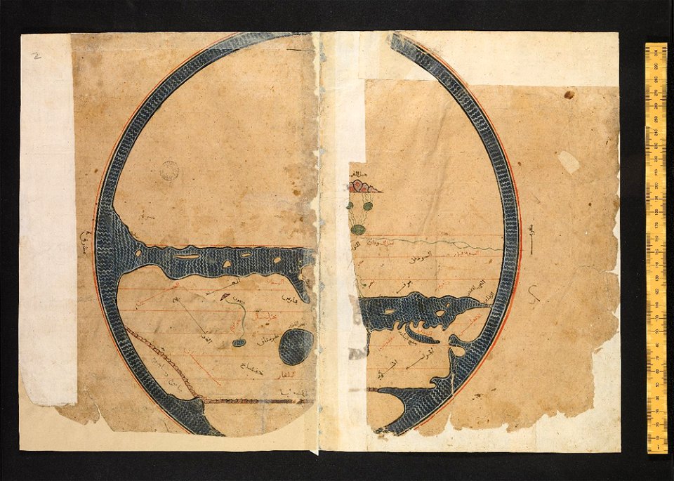
arabic-language manuscripts
bodleian library
bruce county
ontario
maps made in the 17th century
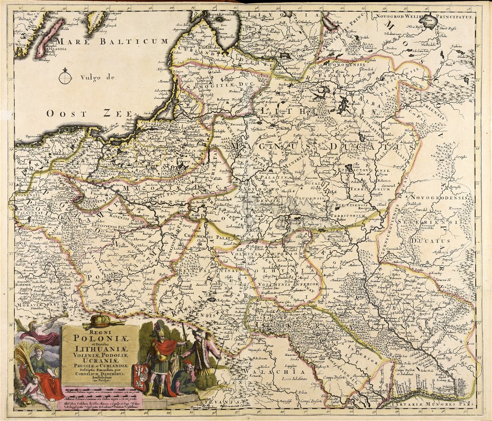
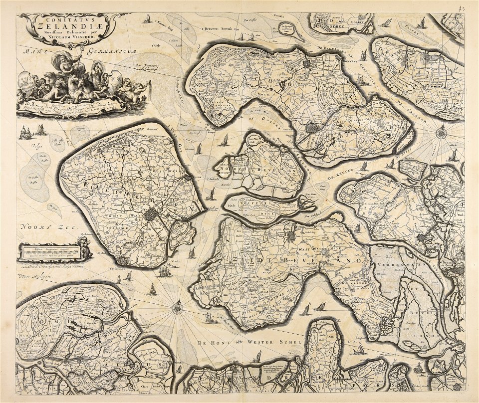
nicolaes visscher ii
maps made in the 17th century
nicolaes visscher ii
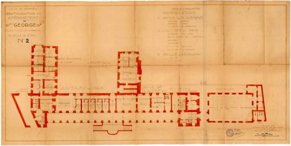
old maps of rennes
1922 maps
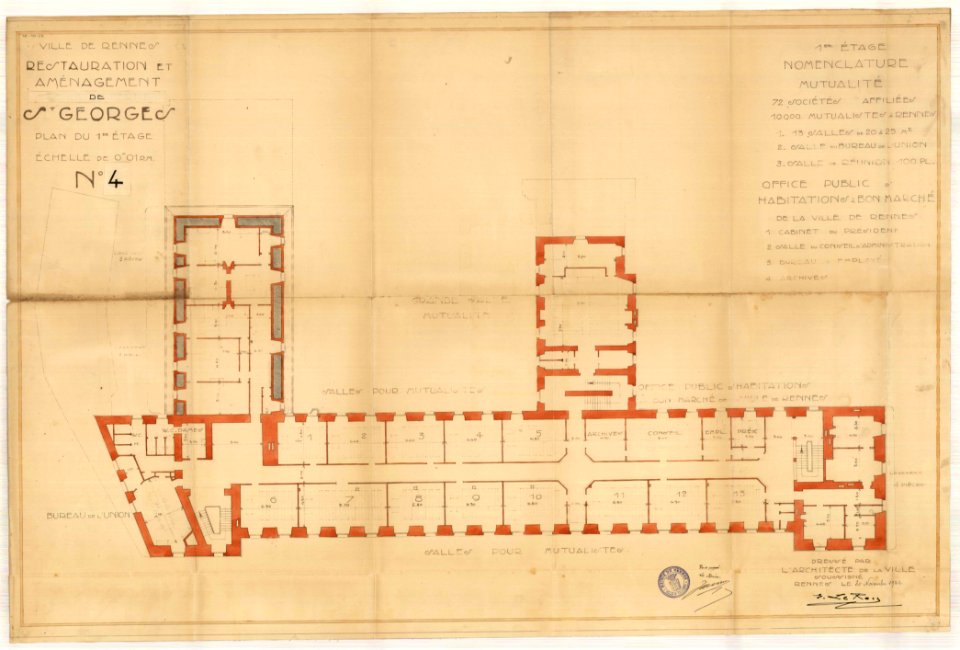
old maps of rennes
1922 maps
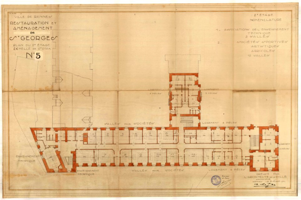
old maps of rennes
1922 maps
old maps of rennes
1922 maps
maps made in the 17th century
jan janssonius
maps with cartouches
atlas van der hagen
dutch 17th-century prints in the rijksmuseum amsterdam
maps in the rijksmuseum amsterdam
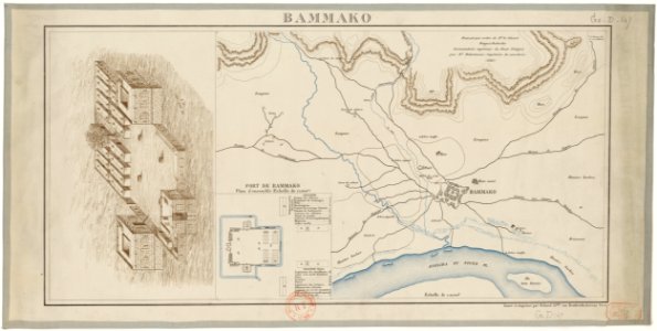
bamako in the 1880s
military maps
dutch 17th-century prints in the rijksmuseum amsterdam
maps in the rijksmuseum amsterdam
dutch 17th-century prints in the rijksmuseum amsterdam
maps in the rijksmuseum amsterdam
flemish prints in the british museum
etchings by wenzel hollar
maps made in the 17th century
jan janssonius
maps made in the 17th century
nicolaes visscher ii
maps made in the 17th century
nicolaes visscher ii
maps made in the 17th century
nicolaes visscher ii
maps made in the 17th century
nicolaes visscher ii
maps made in the 17th century
nicolaes visscher ii
maps made in the 17th century
jan janssonius
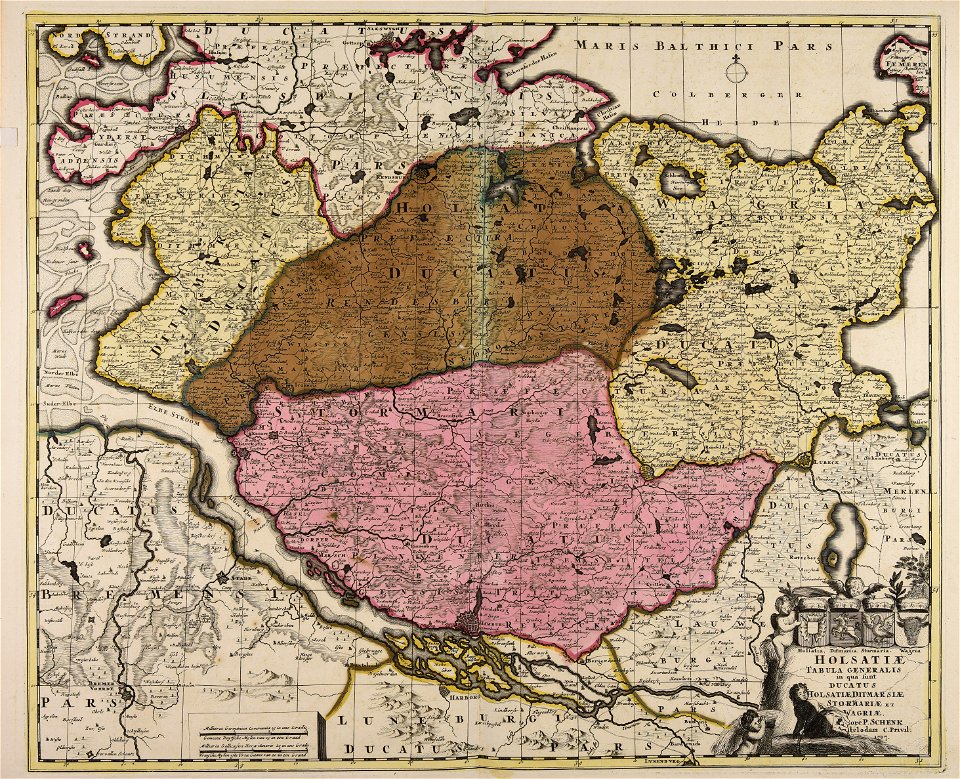
18th-century maps of schleswig-holstein
maps by pieter schenk (i)
maps made in the 18th century
johann baptist homann
maps made in the 17th century
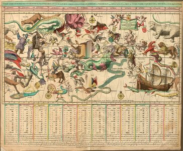
old celestial maps
atlantis magni tomus quartus (biblioteca comunale di trento)
maps made in the 17th century
atlantis magni tomus quartus (biblioteca comunale di trento)
maps made in the 18th century
images from the john carter brown library
maps by samuel de champlain
charts and maps of the royal museums greenwich
1590 maps
maps made in the 18th century
gerard valck
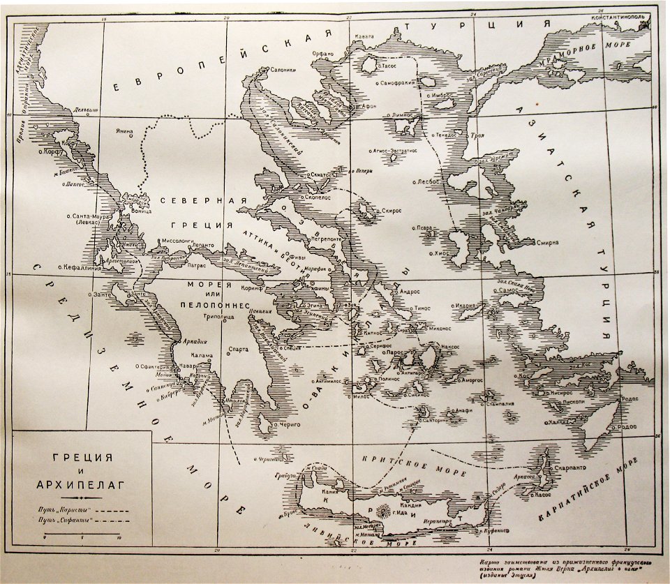
russian-language maps
old maps of greece
maps made in the 17th century
frederick de wit
maps made in the 17th century
nicolaes visscher ii
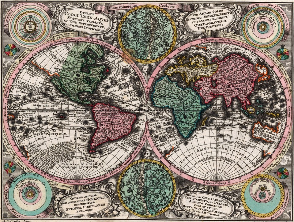
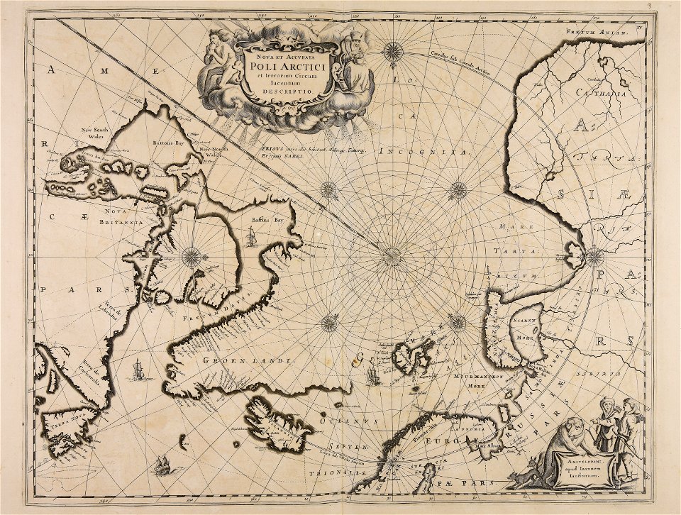
double hemisphere world maps
color engravings
gerard valck
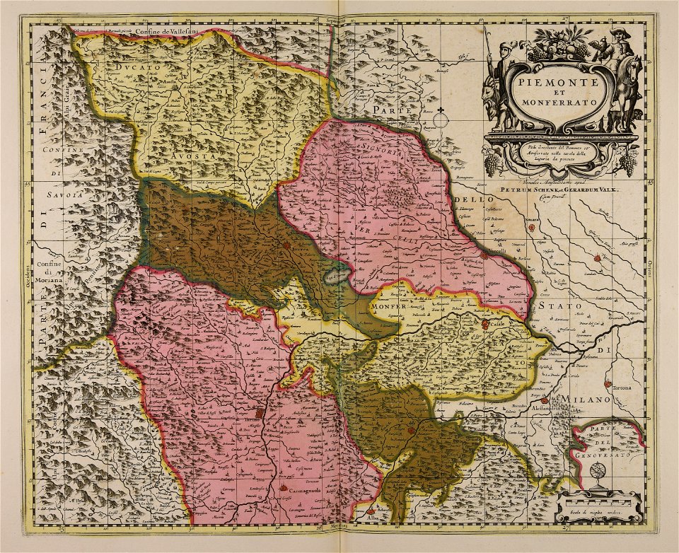
piedmont
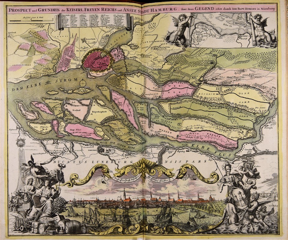
old maps of nuremberg
johann baptist homann
maps made in the 18th century
johann baptist homann
maps made in the 18th century
johann baptist homann
maps made in the 18th century
johann baptist homann
maps made in the 18th century
johann baptist homann
maps made in the 18th century
johann baptist homann
maps made in the 18th century
johann baptist homann
bamako in the 1880s
military maps
maps made in the 17th century
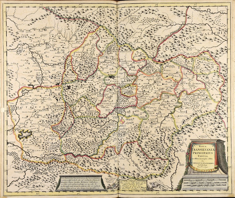
cornelis danckerts (i)
maps made in the 17th century
jan janssonius
charts and maps of the royal museums greenwich
1590 maps
charts and maps of the royal museums greenwich
1590 maps
charts and maps of the royal museums greenwich
1590 maps
charts and maps of the royal museums greenwich
1590 maps
charts and maps of the royal museums greenwich
1590 maps
maps made in the 17th century
old maps of italy
charts and maps of the royal museums greenwich
1590 maps
charts and maps of the royal museums greenwich
1590 maps
charts and maps of the royal museums greenwich
1590 maps
charts and maps of the royal museums greenwich
1590 maps
charts and maps of the royal museums greenwich
1590 maps
charts and maps of the royal museums greenwich
1590 maps
charts and maps of the royal museums greenwich
1590 maps
charts and maps of the royal museums greenwich
1590 maps
charts and maps of the royal museums greenwich
1590 maps
charts and maps of the royal museums greenwich
1590 maps
charts and maps of the royal museums greenwich
1590 maps
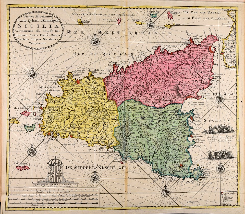
maps made in the 18th century
gerard van keulen
maps made in the 18th century
johann baptist homann
maps made in the 17th century
old maps of gelderland
atlantis magni tomus quintus (biblioteca comunale di trento)
maps made in the 17th century
maps made in the 17th century
jan janssonius
maps made in the 18th century
johann baptist homann
maps made in the 18th century
gerard valck
maps made in the 17th century
nicolaes visscher ii
maps made in the 17th century
nicolaes visscher ii
maps made in the 17th century
nicolaes visscher ii
maps of bremen by c. a. heineken
maps made in the 18th century
maps made in the 18th century
johann baptist homann
maps made in the 17th century
nicolaes visscher ii
maps made in the 17th century
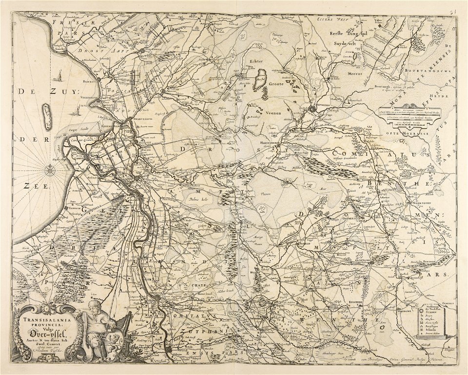
old maps of overijssel
1787
1797
1787
1797
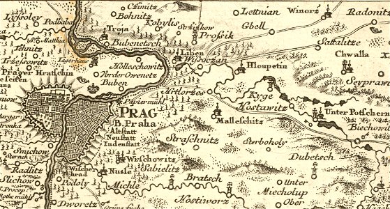
details of müller's map of bohemia
history of hloubětín
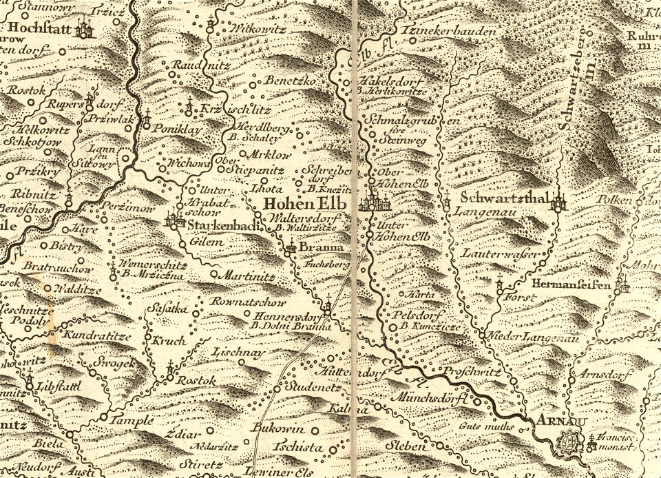
details of müller's map of bohemia
history of vrchlabí
details of müller's map of bohemia
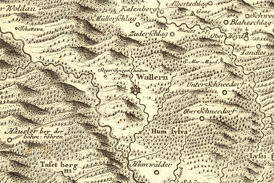
maps of volary
anne baptiste nivelon
rococo
netherlands
the hague
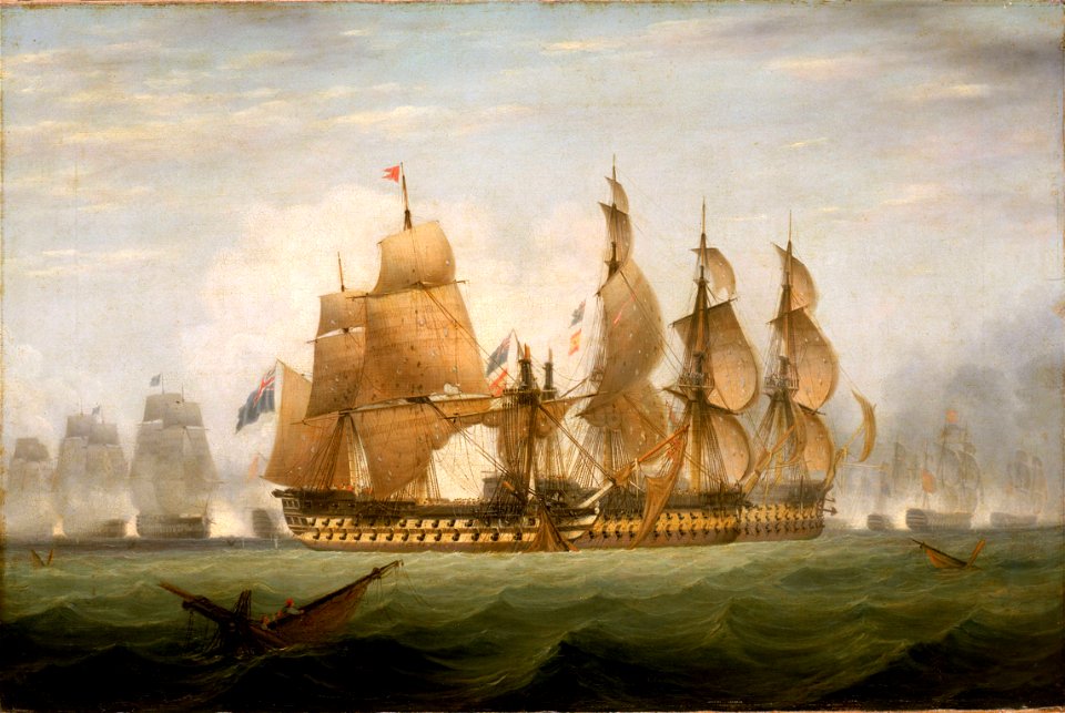
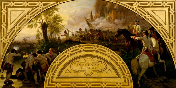
19th-century paintings in the österreichische galerie belvedere
19th-century paintings of battles
16th-century maps of the ottoman empire
giuseppe rosaccio
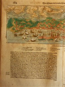
cosmographia (1600) by sebastian münster
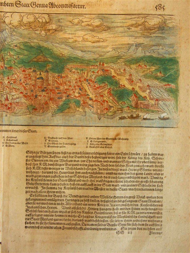
old maps of florence
cosmographia (1600) by sebastian münster
old maps of florence
maps of dalmatia
1552
19th-century maps of stockholm
street lights in stockholm
bisset's magnificent guide (1808 edition)
old maps of birmingham
maps in the library of congress
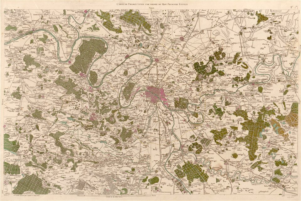
carte de france
maps in the library of congress
carte de france
maps in the library of congress
carte de france
maps in the library of congress
carte de france
6801 - 6900 of 1,096,578
Next page
/ 10966